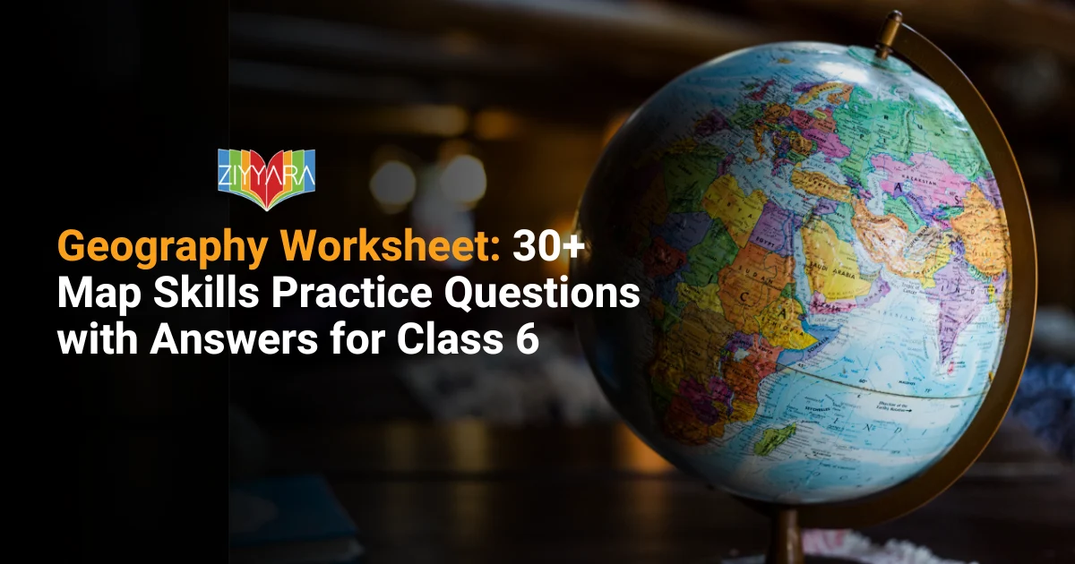
Geography Worksheet: 30+ Map Skills Practice Questions with Answers for Class 6
Map skills are an early learning focus in Class 6 geography. If your child is self-studying or taking online geography classes, it’s important for him to practise plenty of times on this and other worksheets, so that he/she can get the hang of the topic before they face the exam.
32 questions across five sections and a comprehensive answer key at the end – all subjects covered from cardinal directions to map symbols, scales and the various kinds of maps.
What are Maps in Geography Subjects?
Maps are pictures of the Earth’s surface or part of the Earth’s surface on a flat surface. They enable us to comprehend: place, direction, distance and key characteristics of a place.
Why is it important for Class 6 students to learn about maps in Geography?
Eases the way for students to find places quickly.
Improves understanding of directions and distances.
Develops map reading and observing skills.
Helps to recognise countries, states and landmarks.
Promotes interest in various parts of the globe.
Helps students to know about geographical features such as rivers and mountains.
Develops problem solving skills and navigation skills.
Demonstrates uses of maps in everyday life and travel.
Which of these is a specific example of a thematic map?
Political map
Weather chart
Physical map
Atlas
Section B: Complete the statements with the appropriate answers
A map is drawn on a ______ surface.
The direction indicated at the top of a map is the ______ direction.
A ______ is used to describe the meaning of the symbols used on a map.
A ______ map shows countries and states.
A ______ map shows mountains and rivers.
Section C: True / False
Maps are easier to carry than globes. ______
Every map has the same scale. ______
Symbols make maps easier to understand. ______
East and West are cardinal directions. ______
A thematic map shows a specific topic. ______
Section D: Match the Following
Atlas → ______
Scale → ______
Physical Map → ______
Political Map → ______
Compass → ______
Options:
Collection of maps
Shows mountains and rivers
Finds directions
Shows distance
Shows countries and states
Section E: Short Answer Questions
What is an atlas?
Name the four cardinal directions.
What is a map scale?
Why do we use symbols on maps?
What is the difference between a physical map and a political map?
Name the three types of maps.
Why are maps important in everyday life?
What are the three important elements that help us read a map?
How are maps more useful than a globe?
Distinguish between a map and a plan.
Which type of map generally provides more detailed information about a smaller area?
How do symbols help in reading maps?
Answer Key
Section A
b) A drawing of the Earth’s surface
c) West
b) Cardinal directions
c) Atlas
b) Weather chart
Section B
Flat
North
Legend (or key)
Political
Physical
Section C
True
False
True
True
True
Section D
Atlas → Collection of maps
Scale → Shows distance
Physical Map → Shows mountains and rivers
Political Map → Shows countries and states
Compass → Finds directions
Section E
An atlas is a book or bound collection of maps, usually covering different regions, countries, or themes.
The four cardinal directions are North, South, East, and West.
The scale of a map is the ratio between a distance shown on the map and the actual distance on the ground – it allows a large real-world area to be represented accurately on a small sheet of paper.
Symbols represent real-world features (like rivers, roads, or buildings) in a simple, standardized way, making maps easier to read without crowding them with text.
A physical map shows natural features such as mountains, rivers, and plains, while a political map shows man-made boundaries such as countries, states, and cities.
The three main types of maps are physical maps, political maps, and thematic maps.
Maps help us navigate, plan travel, understand distances, and locate places quickly and accurately in daily life.
The three basic components of a map are direction, distance (scale), and symbols.
Maps are more useful than a globe because they are flat, lightweight, and easy to carry or fold, and they can show a specific area in much greater detail – a globe, by contrast, shows the whole Earth at once and isn’t portable.
A map usually shows a larger area (like a country or region) at a smaller scale, while a plan shows a small area (like a building or a plot of land) in much greater detail at a larger scale.
A large-scale map covering a smaller area (such as a plan or a local map) provides more detailed information – generally, the larger the scale, the more detail a map can show.
Symbols make map-reading faster and clearer by standing in for real features in a consistent, space-saving way, so readers don’t need every detail spelled out in words.
Continue Your Geography Journey
If your child enjoys learning from a worksheet and interactive activities, then geography is even more fascinating when it’s taught by experienced tutors with a good experience. This is all about Ziyyara’s online Geography tuition classes which are customized, visual and at your pace.
Let’s explore and experience a free demo session with Ziyyara and discover more fun and personalized ways of learning and practising geography.